Success stories
Can Skill Built 24x7 courses help your career? Our learners tell us how.

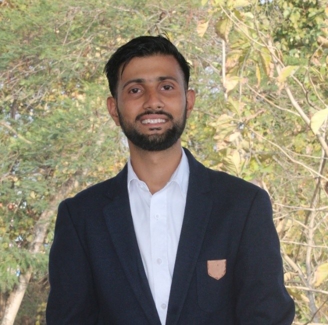
Bishwas Dhungana
Agricultural Engineering Undergraduate Student
I am an undergraduate student in Agricultural Engineering with a strong enthusiasm for Remote Sensing and Precision Agriculture. This course has provided me with an excellent opportunity to delve deeper into the field of Remote Sensing. Being project-based, it has allowed me to apply the fundamental concepts to real-world projects, which has greatly enhanced my practical understanding and skills.

Dr Bhabani Prasad Mondal
Assistant Professor cum Junior Scientist
I chose this course because I am eager to learn about advanced applications such as soil moisture prediction, cropping pattern identification, and much more. The course aligns perfectly with my interests in Remote Sensing and Precision Agriculture, and I believe it will equip me with the knowledge and skills needed to address real-world agricultural challenges through innovative technologies.

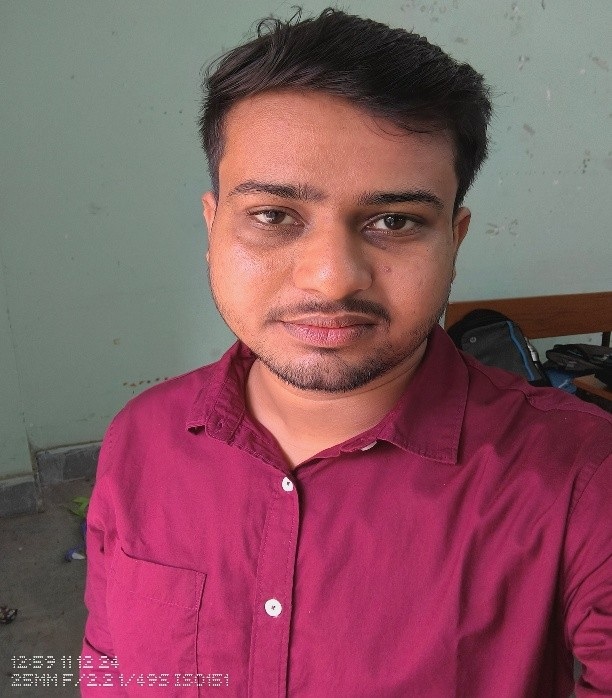
SANDIP MAKUR
M.sc in Remote sensing and GIS
This course is the best choice for me because it offers a strong integration of machine learning techniques with remote sensing applications. In today’s geospatial field, the ability to process and analyse large volumes of satellite data using algorithms such as Random Forest, SVM, and deep learning is essential.

Soumyesh Mandal
Faculty, SAMETI-West Bengal & Chief Instructor , ATC -Narendrapur
This course is highly valuable not only for students like me but also for government employees involved in agricultural extension. It serves as a strong foundation for promoting awareness and practical knowledge of Remote Sensing in agriculture. Additionally, the course supports research activities by providing essential tools and techniques that can be applied in various studies related to soil health, crop monitoring, and sustainable farming practices.

Arindam Chattaraj
FStudent, Mtech Geo-informatics
As an aspiring student in Geo-Informatics, I have always been eager to learn new tools, techniques, and technologies within the geospatial realm. Initially, I was a bit uncertain about enrolling, but the real joy came from learning everything from scratch—especially under the guidance of someone with real-world experience in the field. I’m truly happy to be a part of this course, uncovering new knowledge with every lecture and exploring various aspects of the geospatial domain. A huge shoutout to our instructors—thank you for making this journey so enriching and insightful.

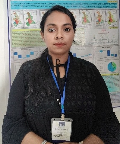
Suparna Adhikary
M.sc Remote Sensing and GIS
This course offers a clear and comprehensive journey through Google Earth Engine, covering everything from the basics to advanced applications. The lessons are well-structured, and the coding demonstrations make complex topics easier to understand. It is helpful for everyone—whether you're a student, researcher, or professional—as it blends theory with real-world examples, making it easy to apply GEE in various domains such as agriculture, water resources, climate studies, and land use mapping.
.png) Skill Built
Skill Built