GIS and Remote Sensing: Basic to Advanced
Course Overview
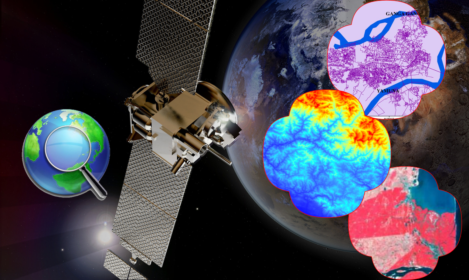
This 20-day course is designed to take learners from the fundamentals to advanced concepts of GIS and Remote Sensing. The course covers geospatial data processing, satellite image analysis, spatial statistics, and environmental monitoring applications.
Participants will learn how to use GIS software (QGIS, ArcGIS) and remote sensing techniques to extract insights from geospatial data, apply supervised & unsupervised classification methods, and perform land use/land cover analysis, disaster mapping, and hydrological modeling.
Why Enroll in This Course?
Hands-On GIS Learning – Master QGIS, ArcGIS, and Google Earth Engine tools.
Practical Remote Sensing Applications – Work with real-world datasets and case studies.
Advanced Geospatial Analysis – Implement spatial statistics, interpolation, and environmental assessments.
Comprehensive Study Resources – PDFs, PPTs, and step-by-step guides.
Industry-Relevant Skills – Learn geospatial skills applicable in research, agriculture, and urban planning.
Who Should Take This Course?
Students & Researchers – Enhance research with GIS & remote sensing techniques.
GIS Analysts & Remote Sensing Professionals – Gain advanced geospatial data analysis skills.
Environmental & Land Managers – Utilize spatial analysis for conservation and land planning.
Data Scientists & ML Engineers – Apply machine learning for remote sensing data.
Course Features
Live & Recorded Classes – Interactive training with full access to recorded lessons.
Study Materials & Coding Scripts – Get downloadable GIS project files.
Hands-On GIS & Remote Sensing – Work with real-world datasets.
Multi-Device Access – Learn from anywhere using any device.
Capstone Project – Apply GIS-based solutions to real-world problems.
Course Outcomes
By the end of this course, you will be able to:
Perform spatial analysis and mapping using GIS software.
Process and interpret remote sensing data for different applications.
Analyze environmental changes using time-series and classification techniques.
Use advanced GIS techniques for land use planning and disaster mapping.
Automate GIS workflows with Python and QGIS scripting.
Enroll Now and become a GIS & Remote Sensing Expert!
Topics of Course
Basic Topic :
Advance Topics :
2099/-
Course Name :-
GIS and Remote Sensing Basic to Advance
Instructor:-
Highly Proficient
Category:-
Basic to Advanced
Level:-
Intermediate
Duration:-
40 Hours (20 Days, 2 Hours per Day)
Mode:-
Live & Recorded Sessions
Access:-
Mobile, Laptop, PC
Requirements
.png) Skill Built
Skill Built