Master Water Resource Engineering with Google Earth Engine
Course Overview
Water resource engineering is a crucial field for managing water availability, quality, and sustainability. This 14-day intensive course provides a practical, hands-on approach using Google Earth Engine (GEE) to analyze hydrological processes, assess water balance, and monitor environmental changes. Participants will learn to work with satellite data, perform rainfall-runoff modeling, detect floods, estimate evapotranspiration, and analyze water quality using remote sensing and geospatial techniques.
Why Enroll in This Course?
Master Google Earth Engine – Learn to process and analyze satellite imagery for hydrological applications.
Rainfall & Hydrological Analysis – Work with CHIRPS, ERA5, MODIS, Landsat, and Sentinel-1 datasets for water resource studies.
Flood & Drought Assessment – Detect and monitor flooded areas, drought conditions, and groundwater recharge using Earth observation data.
Urban Water Resource Impact – Conduct urban proximity analysis to understand the effects of expansion on water resources.
Hands-On Real-World Applications – Gain practical experience with Python, GIS, and remote sensing tools for water management.
Who Should Take This Course?
Hydrologists & Water Resource Engineers – Enhance technical skills in remote sensing for hydrological applications.
Environmental Scientists & Researchers – Perform advanced rainfall analysis, flood mapping, and water balance studies.
Urban Planners & Disaster Risk Managers – Assess climate change impact, flood risks, and urban water challenges.
Students & GIS Professionals – Build expertise in GEE for water resource modeling and geospatial analytics.
Course Features
Live & Recorded Classes – Flexible learning with full-time access to recorded sessions.
Comprehensive Study Materials – Get PDFs, PPTs, and Python scripts for all modules.
Hands-On Projects – Work on real-world case studies in hydrology, flood mapping, and water balance estimation.
Multi-Device Access – Learn on mobile, laptop, or PC at your convenience.
1-Hour Demo Video – Quick introduction to Google Earth Engine for hydrological analysis.
Transform Your Career with Cutting-Edge Water Resource Engineering Skills!
Enroll Now and Gain Expertise in Google Earth Engine for Hydrology & Water Management!
Topics of Course
Basic Topic :
Introduction to Google Earth Engine (GEE)
Advance Topics :
Rainfall Analysis in GEE
Rainfall-Runoff Model in GEE
Evapotranspiration & Heat Flux Estimation
Water Balance Calculation
River & Water Level Analysis
Groundwater Recharge Analysis in GEE
Flood Detection & Mapping
Drainage & Flow Accumulation Mapping
Bathymetry & Waterbody Change Detection
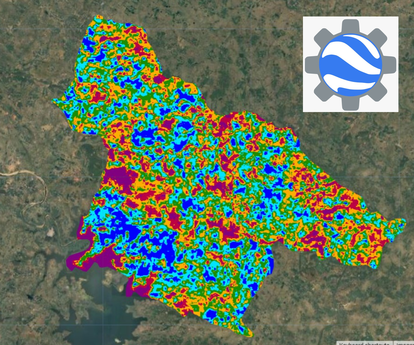
Proximity Analysis & Urban Impact
Advanced Water Resource Applications
Rainfall Data Processing & Analysis
Rainfall Trend Analysis & Zonal Statistics
2199/-
Course Name:-
Master Water Resource Engineering with Google Earth Engine
Instructor:-
Highly Proficient
Category:-
Basic to Advanced
Level:-
Beginner to Advanced
Duration:-
40 Hours (20 Days, 2 Hours per Day)
Mode:-
Live & Recorded Sessions
Access:-
Mobile, Laptop, PC
Requirements
.png) Skill Built
Skill Built