Precision Agriculture with Python and Google Earth Engine
Course Overview
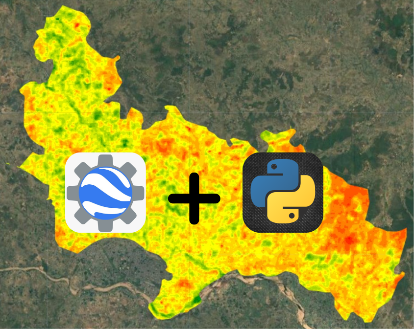
This 40-hour course equips learners with advanced techniques in precision agriculture using Google Earth Engine (GEE) and Python. Covering a range of topics from remote sensing and machine learning to soil health analysis, drought prediction, and yield forecasting, this course prepares participants to apply geospatial technology in agriculture.
Why Enroll in This Course?
Expert-Led Training – Learn from professionals in geospatial technology and precision farming.
Hands-On Learning – Work on real-world projects using satellite and drone data.
Advanced Techniques – Apply ML/DL models, soil analysis, and crop monitoring.
Comprehensive Materials – Access study PDFs, PPTs, and code scripts for each module.
Who Should Take This Course?
Agriculture researchers, students, and professionals interested in geospatial technology.
Data scientists and analysts looking to apply ML & DL to agriculture and remote sensing.
Environmental specialists working on soil moisture, crop monitoring, and hydrological modeling.
GIS & remote sensing professionals aiming to enhance their skills with GEE and Python.
Course Features
Live & Recorded Classes – Interactive sessions with expert guidance.
Comprehensive Study Materials – PDFs, PPTs, and Code Scripts for reference.
Real-World Applications – Work on soil pH mapping, yield forecasting, and crop classification.
Multi-Device Access – Learn on mobile, laptop, or PC at your convenience.
Topics of Course
Basic Topic :
Introduction & Course Overview
Google Earth Engine Basics
Python Basics & Data Visualization
Advance Topics :
Machine Learning & Deep Learning Concepts
Case Study:
Hyperspectral Soil Moisture Prediction
Advanced Soil Moisture Estimation
Drone Data Exploration & Visualization in GEE
Hydrology, Groundwater & Evapotranspiration in GEE
Thermal Image-Based Rice Disease Detection using DL
Soil pH Mapping & Prediction with Python
Vegetation & Crop Monitoring
Potato Growth Prediction using ML Models
Soil Nutrient Variability & Crop Yield
Drought Mapping & Python-Based Indices Calculation
Plant Disease & Weed Detection using DL
Crop Mapping & Global Datasets
Predicting Soil Nutrients Using Hyperspectral Data
Soil Moisture Prediction in Wheat Fields
Land Use Land Cover (LULC) Mapping
2199/-
Course Name :-
Precision Agriculture with Python and Google Earth Engine
Instructor:-
Highly Proficient
Category:-
Basic to Advanced
Level:-
Intermediate
Duration:-
20 Days | 40 Hours (2 Hours per Day)
Mode:-
Live & Recorded Sessions
Access:-
Mobile, Laptop, PC
Requirements
.png) Skill Built
Skill Built