Google Earth Engine with Python API Express Course
Course Overview
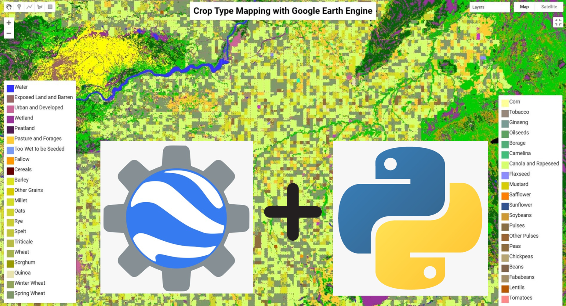
This 30-hour intensive course is designed for individuals eager to master Google Earth Engine (GEE) using the Python API. Covering fundamental to advanced topics, it will teach you to handle geospatial data, apply vegetation indices, process satellite imagery, perform supervised classification, and tackle real-world applications like NDVI anomaly detection, LST mapping, and soil loss estimation.
Why Enroll in This Course?
Expert-Led Training – Learn from instructors with deep knowledge of GEE and Python API.
Hands-On Learning – Work on real-world projects with satellite data and geospatial analysis
Advanced Techniques – Master cloud masking, time-series analysis, and machine learning models.
Comprehensive Materials – Access study PDFs, PPTs, and code scripts for every module.
Who Should Take This Course?
Researchers & Professionals in environmental science, agriculture, forestry, or urban planning.
Students wanting to gain practical skills in remote sensing and geospatial data processing.
Anyone interested in automating workflows and large-scale geospatial analysis using Python and GEE.
Course Features
Live & Recorded Classes – Interactive and accessible for future reference.
Comprehensive Study Materials – Downloadable PDFs, PPTs, and Code Scripts.
Hands-On Experience – Work on real-world projects using Python and GEE.
Multi-Device Access – Learn on mobile, laptop, or PC at your convenience.
Topics of Course
Basic Topic :
Module 1: Earth Engine Basics
Advance Topics :
Module 2: Earth Engine Intermediate
Module 3: Supervised Classification & Change Detection
Module 4: GEE with Python API & Project Work
Project Work (Real-World Applications)
2099/-
Course Name :-
Google Earth Engine with Python API – Express Course
Instructor:-
Highly Proficient
Category:-
Basic to Advanced
Level:-
Intermediate
Duration:-
15 Days | 30 Hours (2 Hours per Day)
Mode:-
Live & Recorded Sessions
Access:-
Mobile, Laptop, PC
Requirements
.png) Skill Built
Skill Built