Google Earth Engine: Basic to Advanced (Recorded Class)
Course Overview
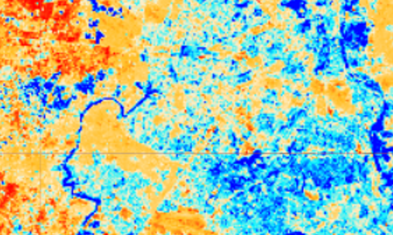
Master Google Earth Engine (GEE) at your own pace with this comprehensive recorded course. Designed for beginners to advanced users, this course covers satellite image processing, spatial analysis, machine learning, and time-series analysis using GEE. You will learn to work with remote sensing datasets, develop geospatial workflows, and perform land cover classification efficiently using cloud computing.
With step-by-step tutorials and real-world case studies, this course provides practical knowledge for environmental monitoring, agricultural analysis, and disaster assessment.
Why Enroll in This Course?
Self-Paced Learning – Study at your convenience with recorded lessons.
Comprehensive Coverage – From basic GEE operations to advanced classification and ML applications.
Real-World Applications – Work on projects in agriculture, forestry, climate change, and urban mapping.
Downloadable Learning Materials – Access PDFs, PPTs, and ready-to-use code scripts.
Expert-Led Training – Learn from instructors with deep expertise in GEE and remote sensing.
Who Should Take This Course?
Students & Researchers – Utilize GEE for academic research and geospatial studies.
GIS & Remote Sensing Professionals – Enhance geospatial data processing skills.
Environmental Scientists & Land Managers – Perform geospatial analysis for sustainable planning.
Data Scientists & Machine Learning Enthusiasts – Implement ML techniques on satellite imagery.
Course Features
Full HD Recorded Classes – High-quality lectures covering basic to advanced GEE concepts.
Comprehensive Study Materials – Downloadable scripts, guides, and step-by-step tutorials.
Hands-On Learning – Work on practical geospatial projects using real-world datasets.
Multi-Device Access – Study anytime, anywhere on mobile, laptop, or PC.
Lifetime Access – Revisit lessons and upgrade your skills whenever needed.
Course Outcomes
By the end of this course, you will be able to:
Process, analyze, and visualize satellite data using GEE’s cloud-based platform.
Perform spatial analysis and land cover classification using machine learning models.
Use remote sensing techniques for environmental and agricultural applications.
Calculate and interpret vegetation indices (NDVI, EVI, SAVI) for monitoring vegetation health.
Conduct time-series analysis and change detection for land use and climate studies.
Enroll Now and become an expert in Google Earth Engine with Recorded Classes!
Topics of Course
Basic Topic :
Introduction to Google Earth Engine
Understanding Remote Sensing Data
GEE Interface and Basic Functions
Basics of JavaScript for Google Earth Engine
Advance Topics :
Working with Vector and Raster Data
GIS-Based Work on Google Earth Engine
Machine Learning Applications in GEE
Supervised Classification (SVM, Random Forest)
Unsupervised Classification (K-means)
Multiple Indices Analysis
Advanced Data Analysis Techniques
Time Series Trend Analysis
Change Detection Methods
Case Studies and Applications
999/-
Course Name :-
Google Earth Engine Basic to Advance (Recorded Class)
Instructor:-
Highly Proficient
Category:-
Basic to Advanced
Level:-
Beginner to Advanced
Duration:-
Self-Paced (20 Hours of Recorded Content)
Mode:-
Recorded Sessions
Access:-
Mobile, Laptop, PC
Requirements
.png) Skill Built
Skill Built